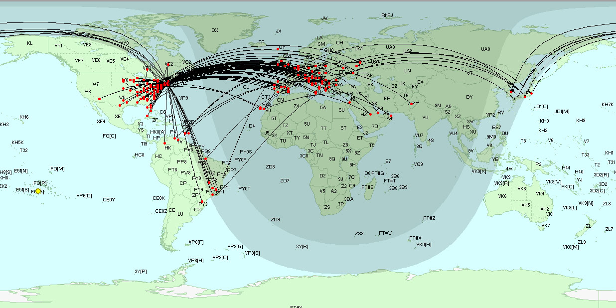
Plotting Active DX Stations and Spotting Stations on the DX Atlas World Map
If you have DX Atlas installed, you can configure DXView to display information on the DX Atlas World Map by clicking the Enable button in the DX Atlas panel in the bottom-left corner of the World Map tab of DXView's Configuration window.
On the Plot Settings tab of DXView's Configuration window, click the Selection panel's Spots button.
- To plot spotting stations and the short path between spotting stations and DX stations,
on the Plot Settings tab of DXView's Configuration window, check the Selection panel's QSOs button.
on the General tab of SpotCollector's Configuration window, check the General panel's Lookup missing location info box

If Google Earth is installed and enabled, QSOs plotted on the DX Atlas World Map will also be plotted on Google Earth.
Actions
If you depress the Ctrl key while clicking a plotted DX Station on the DX Atlas World Map, DXView will rotate your antenna to the short path heading; if you depress the Alt key, DXView will rotate your antenna to the long path heading.
Note that the above action requires the DX Atlas Panning Mode to be disabled; otherwise, clicking on the DX Atlas World Map will move the map.
Additional Topics
Using DX Atlas with DXView on Vista, Windows 7, Windows 8, Windows 10, or Windows 11
