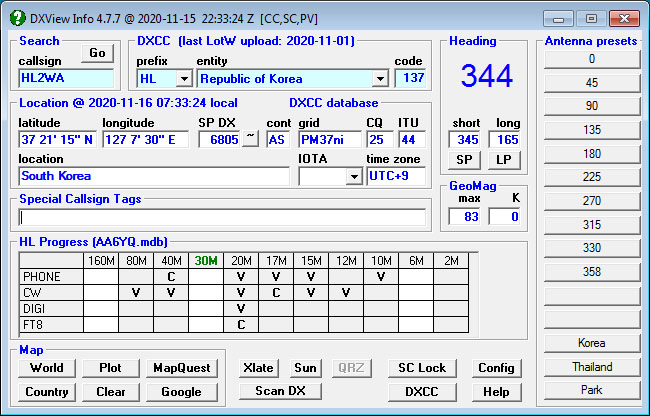
Given a amateur radio callsign, callsign fragment, or prefix, DXView displays
Commands and aligns the following rotator controllers, allowing you to select a short-path or long-path with one click:Supports two antennas aimed by the same rotator with different alignments |
|
|
Comprehensive Online Help |
||
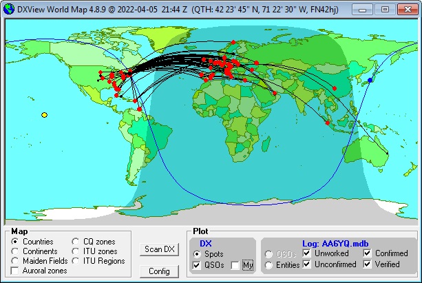
Displays real-time data on a world map
Displays boundary overlays for
Double-clicking on the world map
Optionally interoperates with DX Atlas, an electronic world atlas that
Optionally interoperates with Google Earth, an electronic world atlas that offers a spherical projection that is resizable and zoom-able |
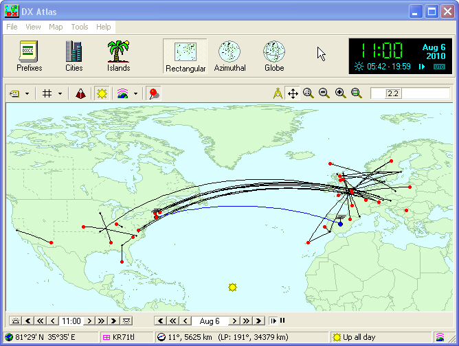
Transatlantic 6m Sporadic E Opening
|
|
|
|
||
Displays country maps
Access to DXView
Information about DXView
|
European 6m QSOs
|
|
| Prefix-to-entity
mapping archives
If you have questions or suggestions, please post them on the DXLab Discussion Group. |
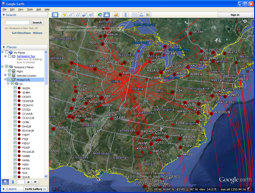
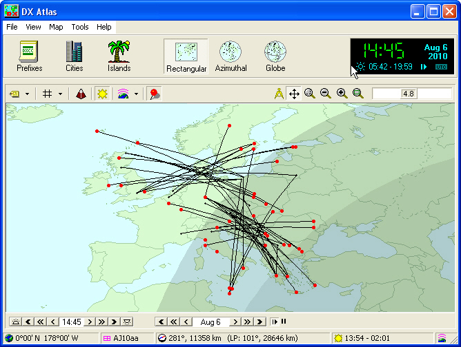
North American 6m opening, 2013-05-04
|